CYCLING CARRETERA AUSTRAL NORTH - BARILOCHE TO ESQUEL
CYCLING CARRETERA AUSTRAL NORTH - BARILOCHE TO ESQUEL
Distance:
 648,2 Km
648,2 Km
Estimated time:
 12 Days
12 Days
Difficulty:
 3
3
3
Unevenness:
 7.479 mts
7.479 mts
Asphalt:
 43 %
43 %
43%
Gravel:
 38 %
38 %
38%
For Ebikes:
 No
No
No
Ferry:
 20 %
20 %
20%
HOW TO RATE THE DIFFICULTY OF A ROUTE OR A BICYCLE CIRCUIT?
TECHNICAL DIFFICULTY:
1- Very easy: A very easy circuit, is suitable for people who can ride a bike on flat asphalt roads and then stop without stumbling. You must have basic notions of braking and shifting. You must have sufficient balance to ride the bike in a straight line without making sudden involuntary maneuvers to the sides.
2- Easy: to pedal on an easy circuit you need to have fluid shifting management that allows you to climb an asphalt slope or pedal on a flat surface without making greater effort, optimizing the energy of your legs at all times. You must also know how to differentiate and use both brakes correctly, the front and the rear.
3- Intermediate: to pedal a circuit of intermediate difficulty, you must master the skills mentioned above, both on asphalt and gravel roads and on low difficulty trails. You must also have an understanding of the correct body position on different terrains and braking precision on slippery terrain and on descents. It is important that you skillfully handle the gear change, both the plates and the sprockets.
4- Difficult: a difficult circuit is suitable for experienced cyclists who know how to pedal on uneven terrain with obstacles, climbs, descents and adverse conditions, such as mud, sand or stones. The cyclist must have good control and control the bicycle at all times, optimizing performance through precise use of gears. It is also necessary to understand how to take advantage of the acceleration of descents to successfully overcome dirt climbs and obstacles such as logs or loose rock.
5- Expert: to master an expert level circuit, it is necessary to train regularly and have physical strength. The pilot must be able to perform jumps and maneuvers at high speed without losing control at any time. It is necessary to master all pedaling, turning and braking techniques on narrow trails with steep slopes of more than 30%, and know how to avoid obstacles such as steps, rocks, roots and slippery ground with mud or dust.
PHYSICAL DIFFICULTY:
We cannot rate the physical difficulty of a bike route, since it strictly depends on the level of training that each person has. As a reference we can say that 35 kilometers by bike is approximately equivalent to 10 kilometers on foot. Circuits with many meters of ascent and gravel surface are more demanding from a physical point of view. In conclusion, we can affirm that a person with an average training, can pedal a distance of 35 to 45 kilometers without major inconvenience, during a period of 4 to 5 hours including rest stops.
If you opt for an e-bike, the physical effort decreases considerably, up to 60% less depending on your riding and pedaling skills.
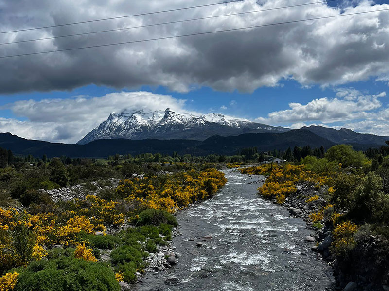
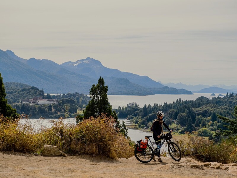
FAMOUS BIKEPACKING ROUTES: CYCLING CARRETERA AUSTRAL NORTH
If If you have 2 weeks and want to make the trip of your life, cycling Carretera Austral will meet your expectations. Along the route you will board 5 ferries, pedal 550 kilometers and cross the Andes mountains twice.
Cycling the Carretera Austral is one of the most spectacular bike tours you can take in Patagonia. You’ll travel along beautiful gravel roads, picturesque mountain villages, four national parks, and two natural reserves. Along the route, you will find variety of campsites and lodgings, magical places, and stunning landscapes.
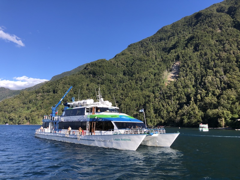
ANDEAN CROSSING FERRIES AND SOMARCO FERRIES
The first three ferries are sold as a package tour on the Turisur or Cruce Andino websites and cost around US$140. The package tour is called Cruce Andino Bike & Boat and sails the Nahuel Huapi, Frías, and Todos los Santos lakes.
Turisur: Cruce Andino Bike
Cruce Andino: Cruce Andino Bike
The 4th and 5th ferries belong to the Chilean company SOMARCO and are cargo and transport ferries, making them low-cost. Click on the link for more information.
Barcaza Somarco: Hornopiren – Leptepu – Caleta Gonzalo
FUTALEUFU RIVER CLASS V RAFTING
For rafting and thrill seekers, we recommend spending an additional day on the Futaleufú River, ranked as one of the best rivers in the world for Class 5 whitewater rafting and kayaking.
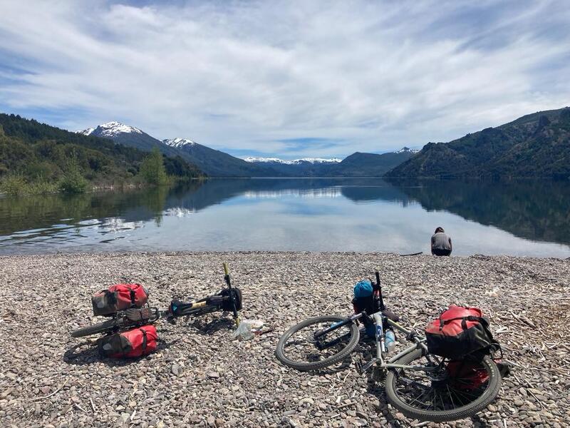
CYCLING CARRETERA AUSTRAL SUGGESTED ITINERARY
These are the suggested stops for cycling Carretera Austral in 12 days, averaging about 48 km per day of pedaling. Check out lodging recommendations. You can find more options on the route map. For this trek, we recommend bringing a tent and sleeping bag, as some stages may not have hostels available, especially on days 7 and 11. It is possible to avoid a tent by slightly modifying the itinerary, shortening or lengthening some stages and/or the number of days. We recommend not planning stages longer than 60 kilometers.
Day 1: Bariloche – Puerto Pañuelo – 45km
Hostería Katy – Dormis Villa Tacul
Day 2: Puerto Pañuelo – Petrohué – 100km incluye ferry
Camping familia Kuschel – Hostal Donde la Nena
Day 3: Petrohué – Ralún – 49km
Camping La Paz – Cabañas Almalik
Day 4: Ralún – Rio Puelo – 44km
Day 5: Río Puelo – Río Contao – 49km
Camping Río Contao – Hostal Villa Angélica
Day 6: Río Contao – Hornopirén – 46km
Camping El Cobre – Hostal Caburga
Day 7: Hornopirén – Cascadas escondidas – 91km incluye ferry
Day 8: Cascadas escondidas – El Amarillo – 67km
Cabañas y camping arroyo Claro
Day 9: El Amarillo – Villa Santa Lucía – 51km
Day 10: Villa Santa Lucía – Río Futaleufú – 49km
Bio Bio expeditions – Refugio el Guapito
Day 11: Río Futaleufú – Camping los Cipreses – 48km
Camping Los Cipreses – Nomade domos
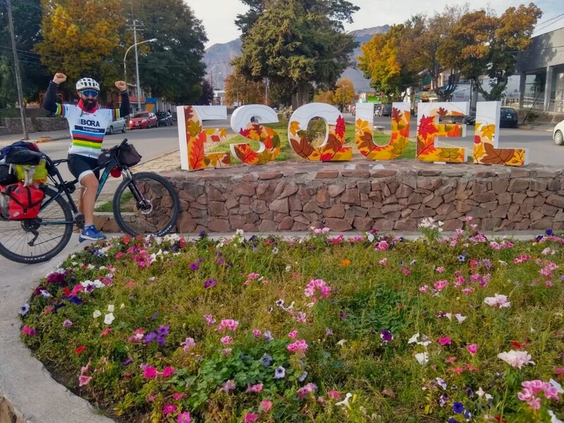
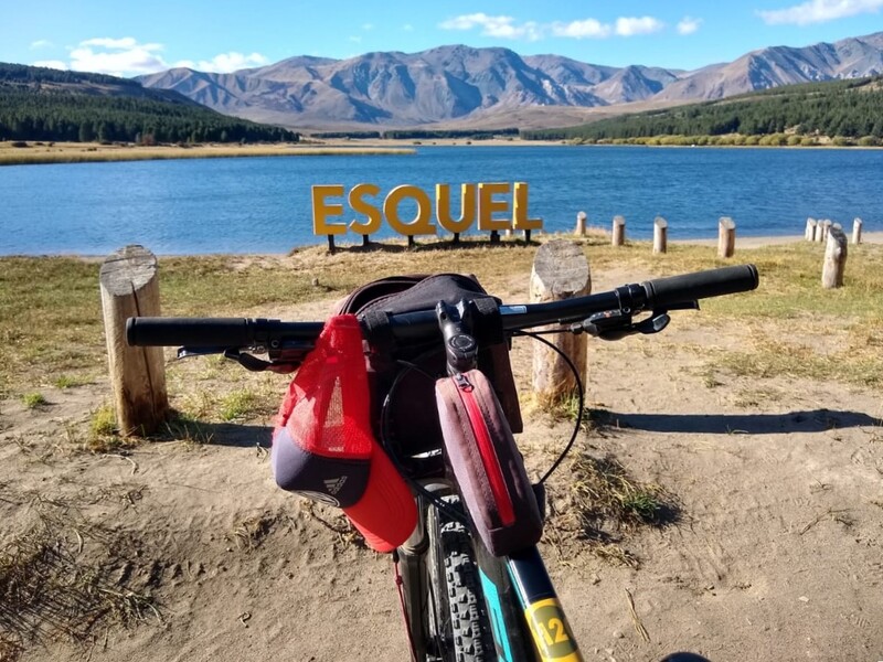
Day 12: Camping Los Cipreses – Esquel – 53km
BIKE RENTAL AND DROP-OFF FOR CYCLING CARRETERA AUSTRAL
Our bike rental service, specializing in bicycle touring and multi day bikepacking tours, is the best option for cycling the Carretera Austral North, departing from Bariloche, Argentina, and ending in Esquel, Argentina. When you’ve finished cycling the Carretera Austral North, you can return your equipment to Transportes Pedro Gestiones, located in the Esquel bus terminal. The transportation office is open Monday through Friday, mornings only.


MAPS AND GPS CYCLING CARRETERA AUSTRAL NORTH
To view cycling Carretera Austral on your cell phone, you must first download Maps.me application from GPS APPLICATIONS. Then download the route in .KML format with DOWNLOAD ROUTE button and open it with the application. You will be able to see the route and your relative position without data connection anytime, anywhere.
PLANNING

SERVICES: Self-guided tours do not include daily luggage transfers, support vehicle, or accommodation reservations. You must use cargo panniers to carry your belongings. You will need to plan your stops and manage your reservations. You can see the differences between a guided and self-guided tour by clicking here.

ACCOMMODATION: Choosing the type of accommodation for your bikepacking trip depends on multiple factors, such as cost, availability, and your personal preference. Campsites do not require prior booking. Cabins do. Learn more about the pros and cons of traveling with a tent or booking accommodations along the way by clicking here.

TIPS: If you want to be successful on your trip, follow our tips and recommendations. Read this information before starting a bike trip. Learn how to travel by bike in Patagonia by clicking on the links below:
HOW TO READ THE ROADMAP

STAGES: Suggested stages are represented in different colors. Try to stick to the recommended stops. Don’t plan stages of more than 50 kilometers or 31 miles each day. Follow these bikepacking tips and enjoy the ride!

ICONS: Click the icons on the map for additional information on accommodations, campsites, and points of interest. You can see all available accommodations in this area by clicking here.

MAP TYPE: Select any GOOGLE MAP type to visualize restaurants, hotels, supermarkets, and available services. The map selector box is located in the upper right corner of the road map.

ALTIMETRY PROFILE: Click and drag the mouse over the altimetry profile to select a route segment. You will see the distance and elevation for the selected section. Dashed lines over the altimetry profile indicate gravel roads. This feature is not available on mobile devices.

VIEW THE ROUTE: To see real Street View images of the route, first select any GOOGLE MAP type in the top right box of the route map. Then drag the yellow little man to the section of the route you want to view. Click here for more information about Street View. This feature is not available on mobile devices.